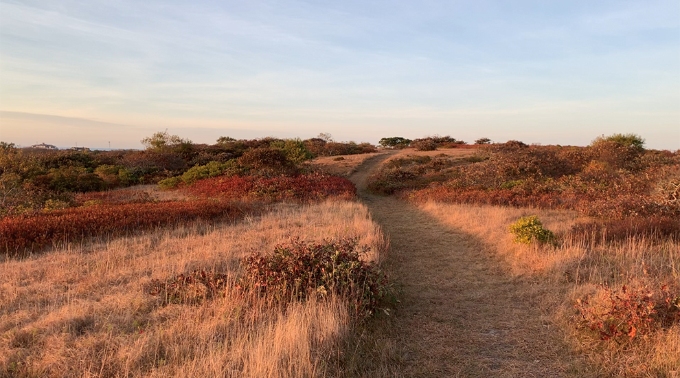


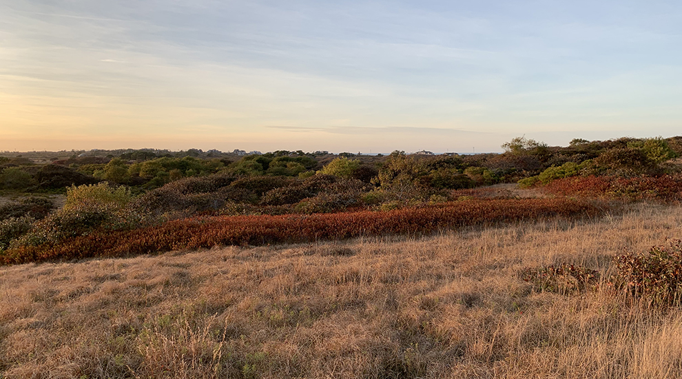
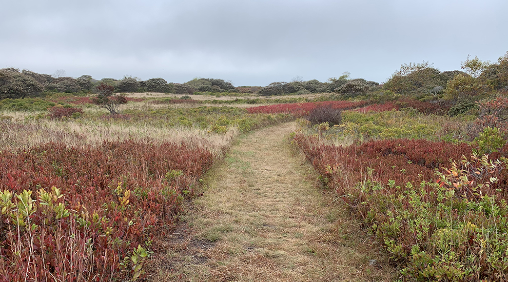
Bisected by Madaket Road, the Trott’s Hills property is owned to the north by the Nantucket Land Bank and the Town of Nantucket, and to the south by the Nantucket Conservation Foundation. This area features the rolling, hilly terrain that dominates the northern half of Nantucket’s landscape. During the most recent glacial era, the ice sheet that covered most of New England reached its southernmost advance in this part of island. The weathered/weatherworn hills that have formed here are the remains of sand, gravel and cobble that was transported with the ice and deposited as the glacier began to melt and retreat to the north.
This area now contains a mosaic of open grasslands and heathlands interspersed with taller shrubs, which are maintained by periodic mowing. The Land Bank property is comprised of 95 acres of open space, and the Foundation’s 77-acre property south of Madaket Road directly abuts the Land Bank’s extensive holdings to the south, which in turn connect to Head of the Plains, Sanford Farm, Ram Pasture and the Woods. This area of the island currently comprises one of the largest, contiguous blocks of protected conservation land, second only to the Middle Moors.
Address
40 Eel Point Road
Directions
Parking for this trail is available on Town of Nantucket Property, located on Eel Point Road. From Town, drive west on Madaket Road and turn right onto Eel Point Road. Continue for 0.8 miles, just past Renown Road, and there is a dirt parking lot on the left.
Property Marker
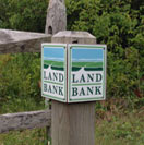
Land Bank trails are marked by the post shown here.


