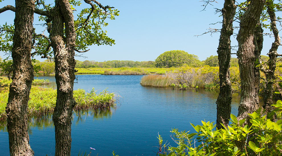

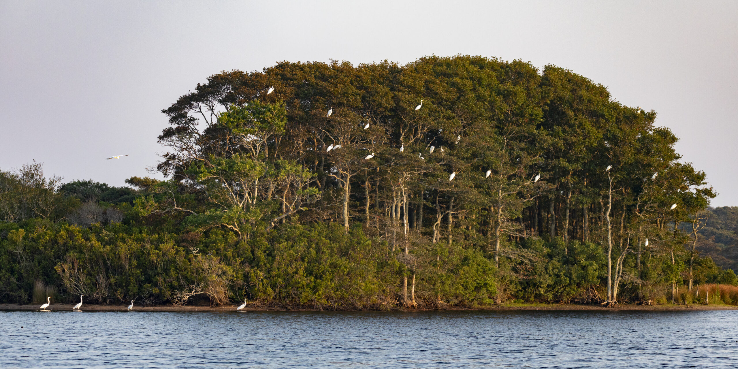
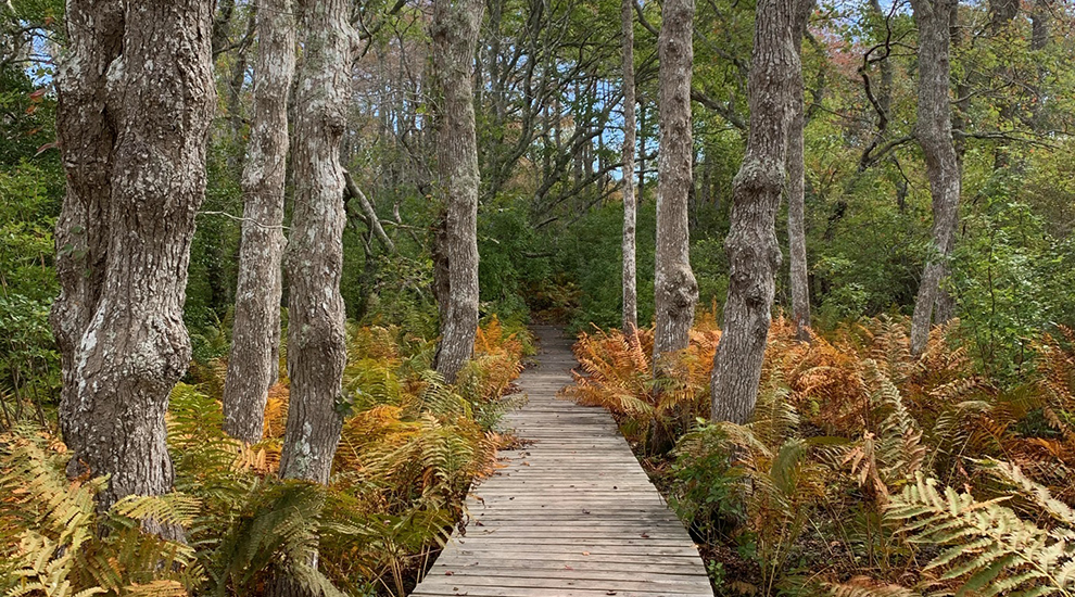

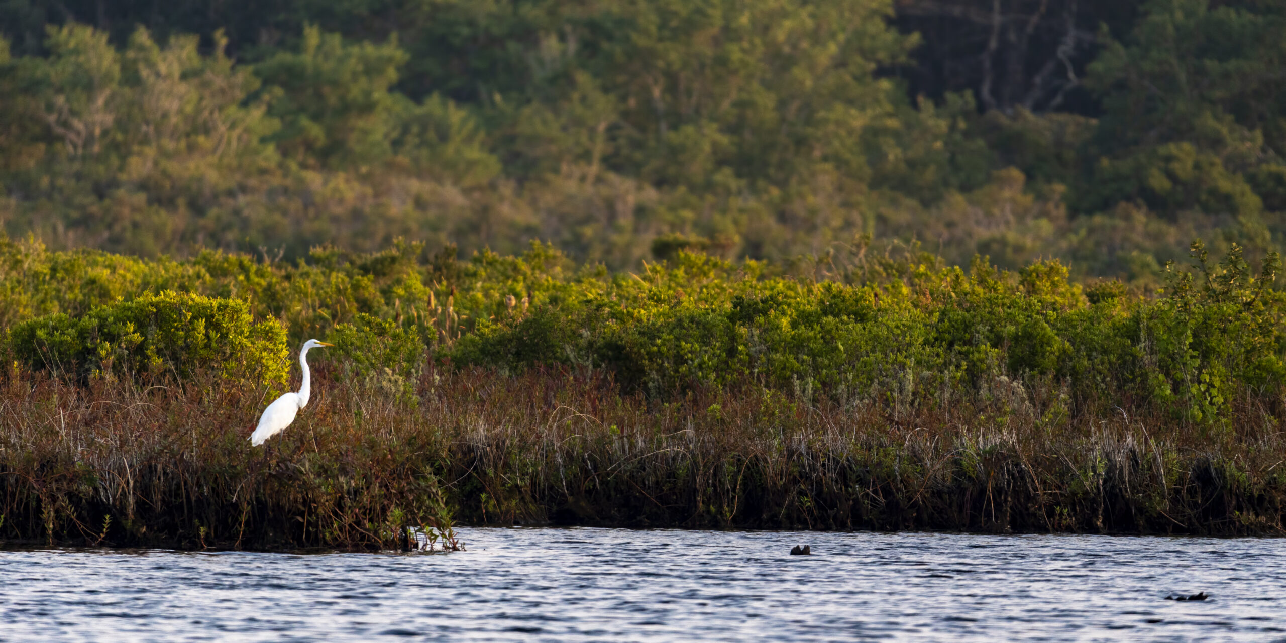
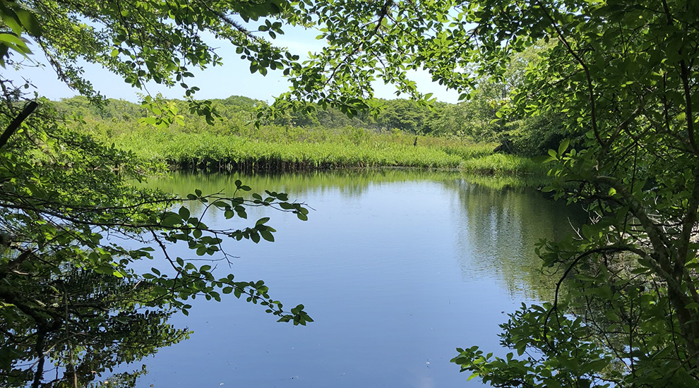
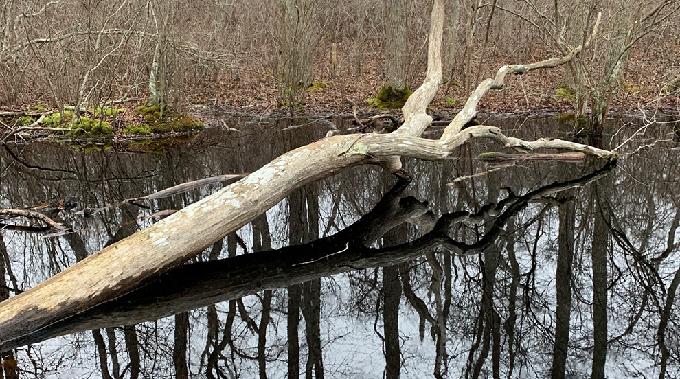
Stump Pond is another property that is jointly owned by the Land Bank and the Nantucket Conservation Foundation. The single-track trails lead visitors through densely forested wetland pockets full of striking cinnamon fern, sweet pepperbush, and spindly tupelo trees. The trail also offers views of Stump Pond itself, which is a man-made waterbody that was once used to flood the adjacent Windswept Cranberry Bogs when they were operational.
The pond was created when a forested red maple swamp was clear cut in order to channel the flow of water. When the pond water was redirected to the cranberry bogs and the water level was low, the stumps of the old maple trees were exposed, giving it the name of Stump Pond. Now that the bogs are no longer operational, the water level is more or less stabilized, concealing the stumps from view.
Address
35 & 44 Almanack Pond Road
Directions
From the Milestone Rotary, drive east on Milestone Road for 0.3 miles before turning left onto Polpis Road. Continue on Polpis Road for 4.3 miles, then turn right onto Almanack Pond Road. Continue on Almanack Pond Road for 0.8 miles, and the dirt parking lot is on the right.
Property Marker
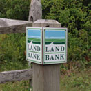
Land Bank trails are marked by the post shown here.


