
Beechwood Farm is located in Polpis, which was originally the agricultural center of Nantucket. The name is taken from an historic farm in the vicinity, where peat and cranberry crops were harvested, and sheep and cattle grazed.
The main parcel of Beechwood Farm was purchased by the Land Bank in 2013. In 2019 and 2020, the Land Bank was able to purchase an additional two parcels to the south. Our properties directly abut the Nantucket Conservation Foundation’s Norwood Farm to the east and north. Together, the area is comprised of over 220 acres of contiguous open space.
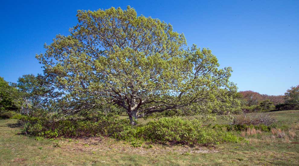
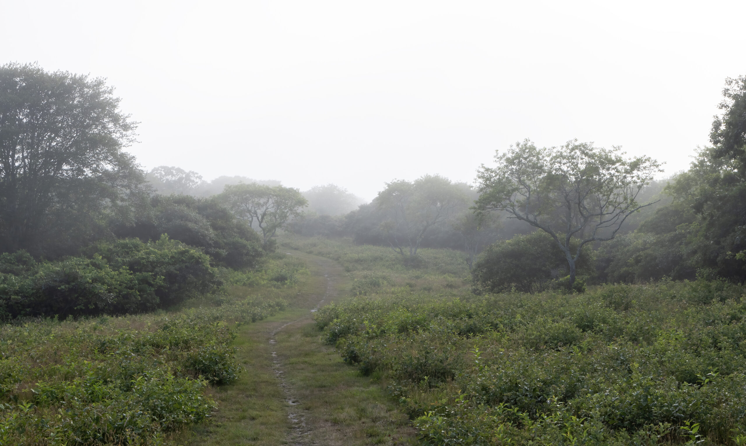
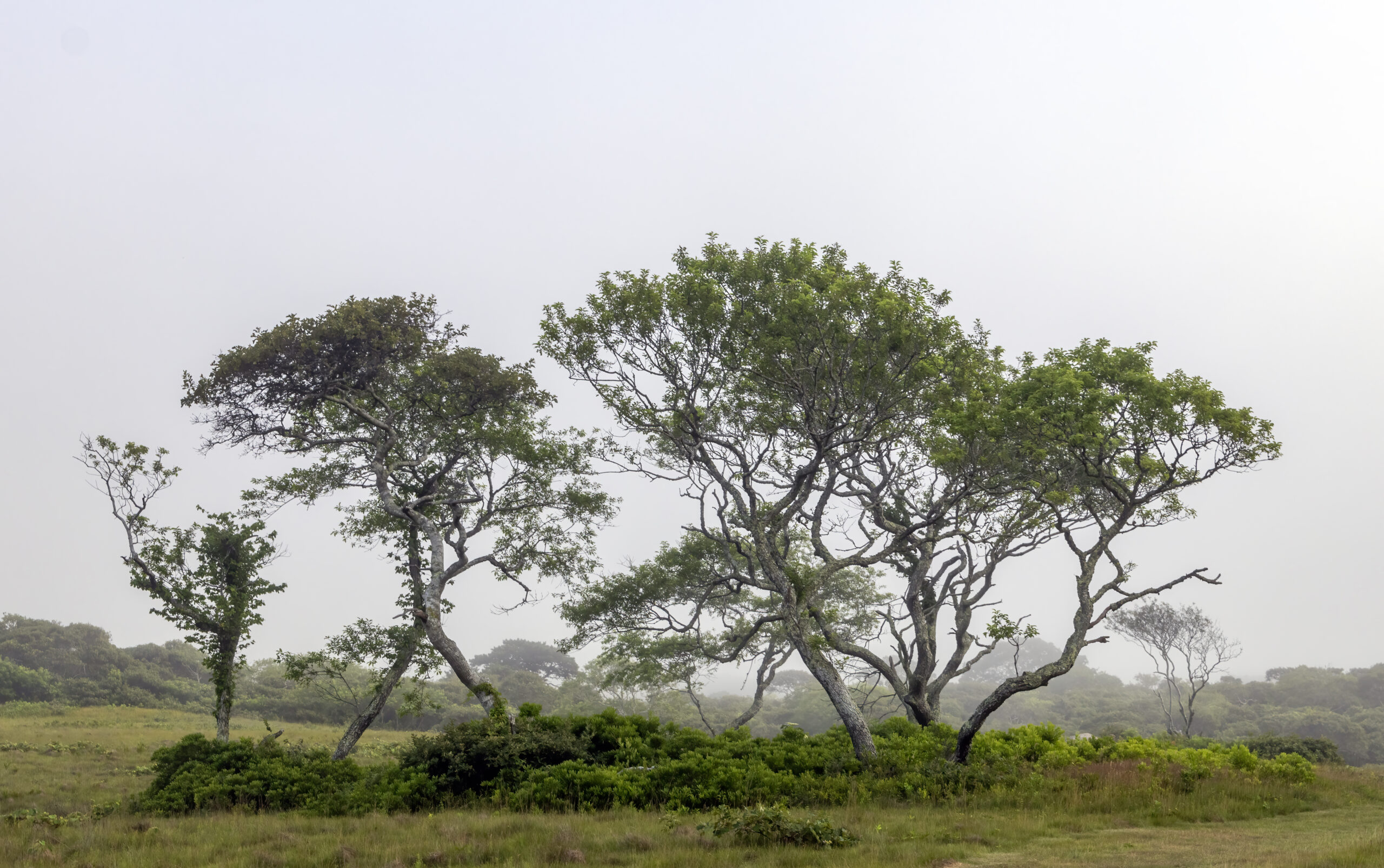
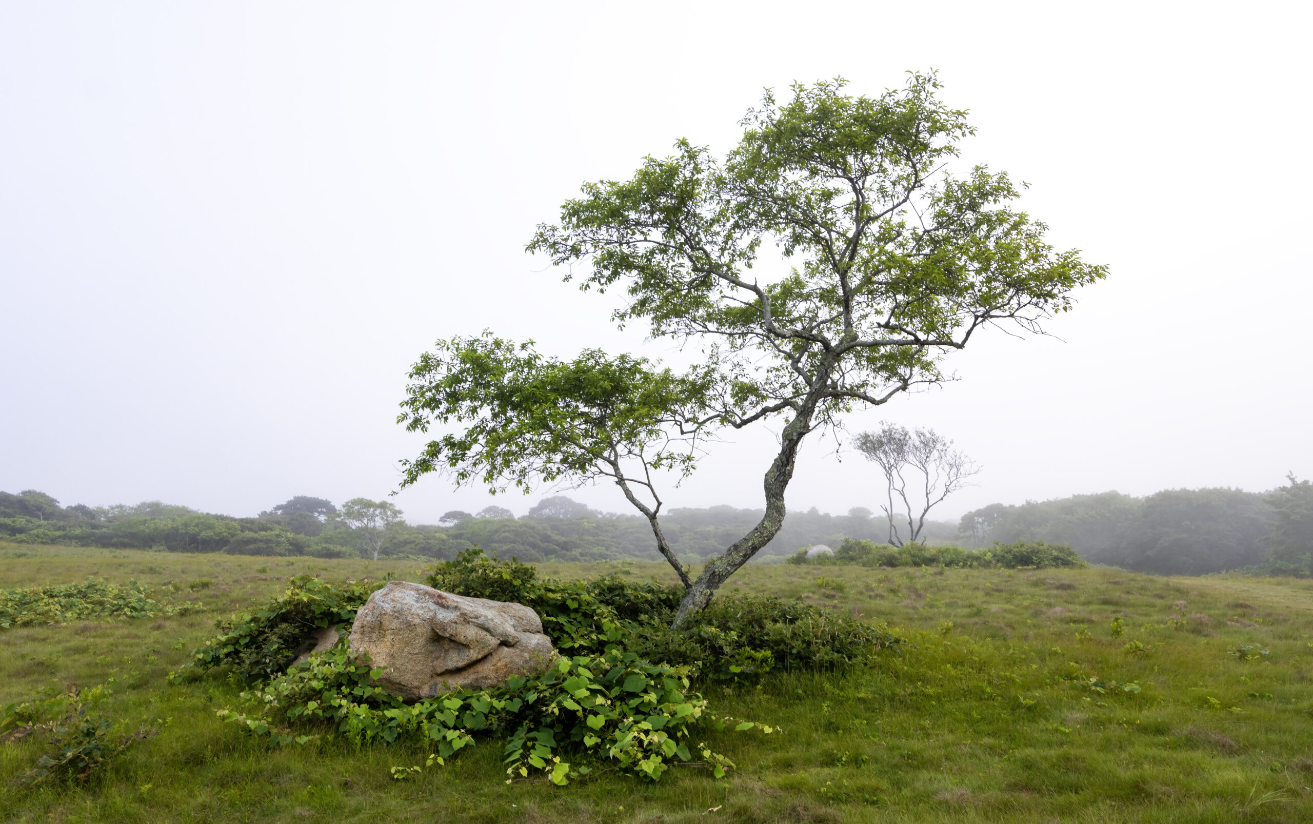
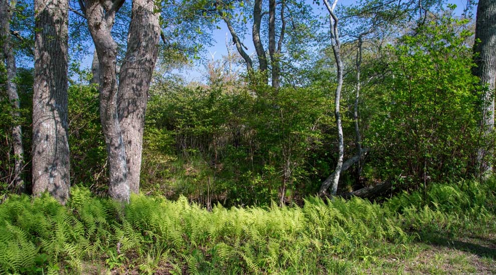
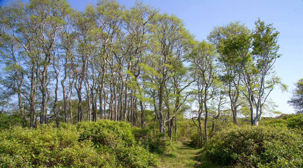
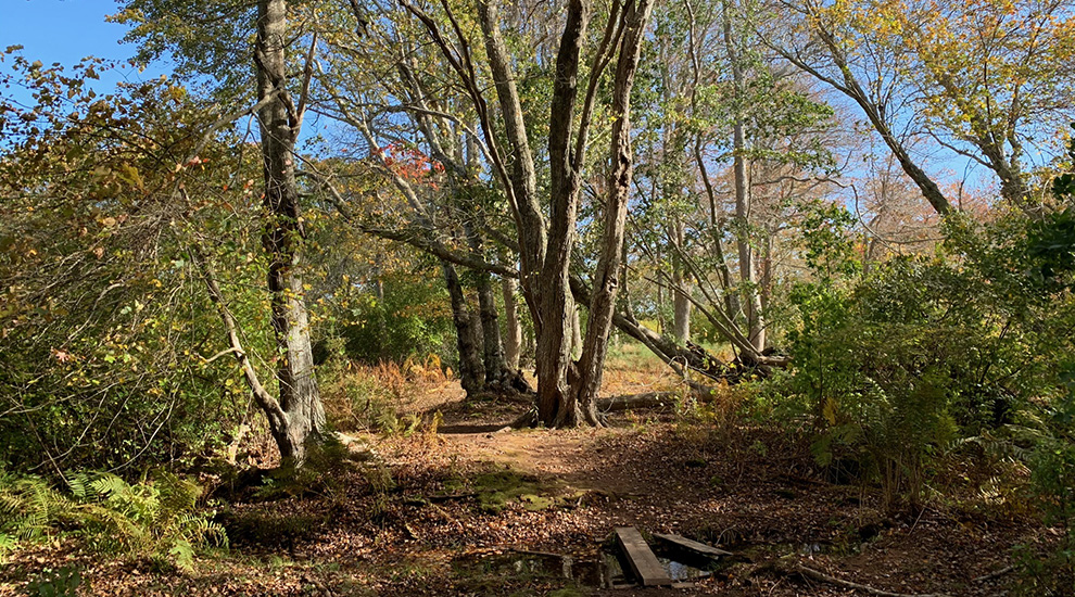
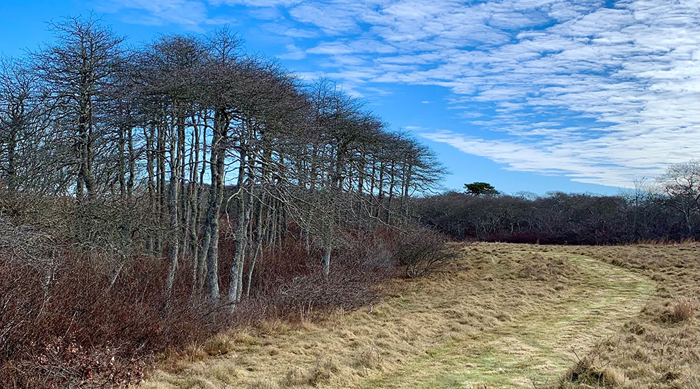
Our nearly 2 miles of trails in this area wend their way through hills and valleys formed by terminal moraine deposits during the last glacial period. Upland grasslands and early successional shrublands provide ideal habitat for rare plants such as St. Andrew’s Cross. Our vast network of trails meander through beautiful wetlands bursting with ferns and tupelo trees. To cap it all off, rolling hills offer unparalleled views of kettle ponds, scrub oak barrens, and even Sankaty Head Light on a clear day.
Address
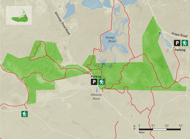
35 & 44 Almanack Pond Road
Directions
From the Milestone Rotary, drive east on Milestone Road for 0.3 miles before turning left onto Polpis Road. Continue on Polpis Road for 4.3 miles, then turn right onto Almanack Pond Road. Continue on Almanack Pond Road for 0.8 miles, and the dirt parking lot is on the right.
Trail Maps
Property Marker
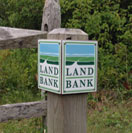
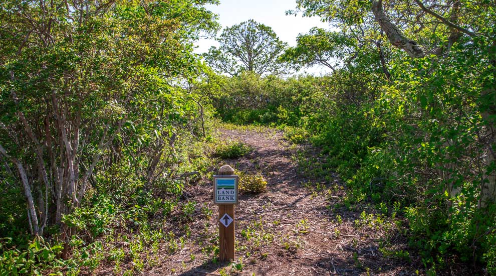
Land Bank trails are marked by the post shown here.


